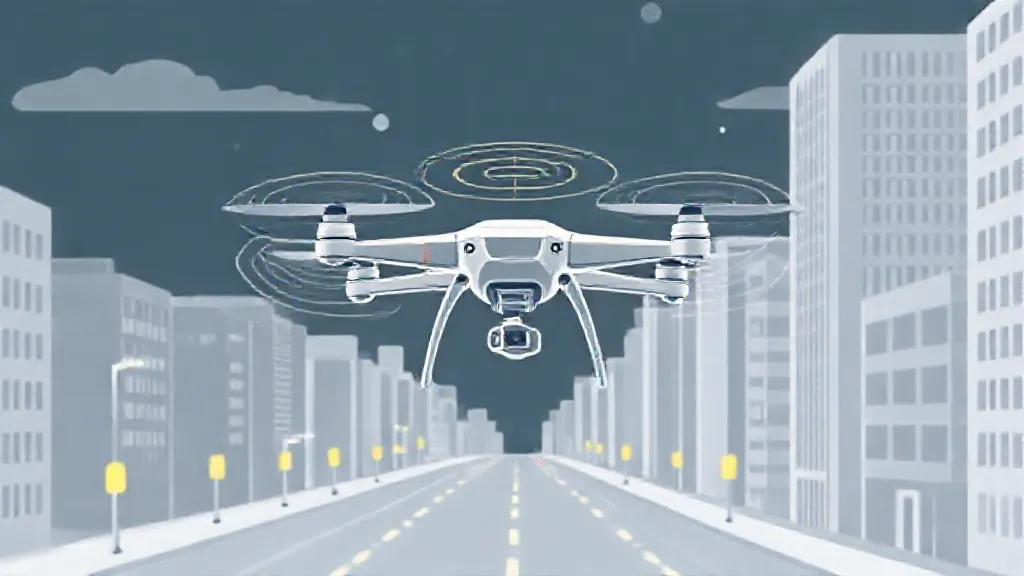
Drones, or unmanned aerial vehicles (UAVs), have rapidly evolved over the past few decades, becoming integral tools in various sectors, including agriculture, delivery services, surveillance, and recreational activities. However, a critical aspect of their functionality is their ability to navigate safely through complex environments. This article delves into the technologies and methodologies that enable drones to determine safe flight paths, ensuring they avoid obstacles, restricted airspace, and other hazards.
The Role of GPS in Drone Navigation
One of the primary technologies that drones utilize for navigation is the Global Positioning System (GPS). GPS allows drones to pinpoint their exact location on Earth by receiving signals from satellites orbiting the planet. This system provides essential data, including altitude, speed, and direction, which helps drones maintain stable flight paths.
However, GPS alone is not sufficient for safe navigation, particularly in urban environments where tall buildings can obstruct signals. As a result, drones often employ additional technologies to enhance their navigation capabilities.
Incorporating Sensors for Enhanced Awareness
To navigate safely, drones are equipped with various sensors that provide real-time data about their surroundings.
These sensors include ultrasonic sensors, LiDAR (Light Detection and Ranging), and cameras. Ultrasonic sensors can detect obstacles by emitting sound waves and measuring the time it takes for the echo to return. LiDAR uses laser beams to create detailed 3D maps of the environment, allowing drones to identify potential hazards.
Cameras, often coupled with computer vision algorithms, enable drones to recognize and classify objects, further enhancing their ability to navigate safely.
The Importance of Geofencing
Geofencing is another crucial component of drone navigation safety. This technology creates virtual boundaries that restrict drone flights in certain areas, such as near airports, military bases, or densely populated regions.
By using GPS coordinates, drones can automatically detect when they are approaching a geofenced area and take appropriate action, such as altering their flight path or refusing to take off. This feature is vital for ensuring compliance with aviation regulations and enhancing public safety.
Autonomous Navigation Systems
Advancements in artificial intelligence (AI) have paved the way for autonomous navigation systems in drones.
These systems allow drones to make real-time decisions based on the data collected from their sensors. For example, if a drone detects an obstacle in its path, it can autonomously reroute itself to avoid a collision. This capability is particularly beneficial in dynamic environments where obstacles may appear suddenly, such as during search and rescue operations or in crowded urban areas.
Mapping and Planning Software
Before a drone takes flight, it often relies on sophisticated mapping and planning software to determine the safest route. These programs analyze various factors, including weather conditions, airspace restrictions, and potential hazards, to create an optimized flight plan. For instance, a drone delivering packages may use this software to avoid areas with high pedestrian traffic or adverse weather conditions, ensuring a smoother and safer delivery process.
Real-time Data Integration
Another significant advancement in drone navigation is the integration of real-time data feeds. Drones can access live information about weather conditions, air traffic, and other relevant factors that may impact their flight. By continuously updating their navigation algorithms with this data, drones can adapt to changing circumstances, ensuring they remain on safe flight paths.
For example, if a drone encounters unexpected high winds, it can adjust its altitude or route to maintain stability and safety.
The Future of Drone Navigation
As technology continues to evolve, the future of drone navigation looks promising. Innovations such as 5G connectivity and enhanced AI algorithms are expected to further improve drones' ability to navigate safely and efficiently.
Additionally, regulatory bodies are working on developing frameworks that will allow for more advanced drone operations, including beyond visual line-of-sight (BVLOS) flights. This evolution will require even more sophisticated navigation systems that can ensure safety in increasingly complex environments.
Conclusion: Ensuring Safe Drone Operations
In conclusion, the ability of drones to navigate safely is a multifaceted process that involves a combination of GPS technology, sensors, geofencing, autonomous systems, mapping software, and real-time data integration.
As these technologies continue to advance, they will play a crucial role in the expanding use of drones across various industries. Ensuring safe drone operations will not only enhance the efficacy of these machines but also foster public trust and acceptance of drone technology in our daily lives.
